WEATHER ALERTS
ENVIRONMENT CANADA
*************************
Winter storm warning in effect for:
• Niagara Falls - Welland - Southern Niagara Region
• St. Catharines - Grimsby - Northern Niagara Region
Winter storm conditions expected Saturday.
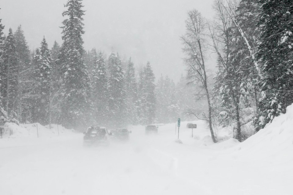
Snow at times heavy is expected to develop early Saturday morning and taper off Saturday night.
Although the storm system responsible will track well to the south of the Great Lakes, northeast winds off Lake Ontario will pick up extra moisture resulting in higher snowfall totals. The latest analysis continues to suggest snowfall accumulations of 15 to 25 cm. Snowfall amounts should be considerably less north of Hamilton and Burlington.
In addition, strong northeast winds gusting to 60 km/h will generate widespread blowing snow and cold wind chill values near minus 20. Near zero visibility is likely at times.
Consider postponing non-essential travel until conditions improve. Surfaces such as highways, roads, walkways and parking lots may become difficult to navigate due to accumulating snow. Public Safety Canada encourages everyone to make an emergency plan and get an emergency kit with drinking water, food, medicine, a first-aid kit and a flashlight.
Please continue to monitor alerts and forecasts issued by Environment Canada. To report severe weather, send an email to [email protected] or tweet reports using #ONStorm.
*************************


