WEATHER ALERT
ENVIRONMENT CANADA
***************************
Severe thunderstorm warning in effect for:
- Niagara Falls - Welland - Southern Niagara Region
- St. Catharines - Grimsby - Northern Niagara Region
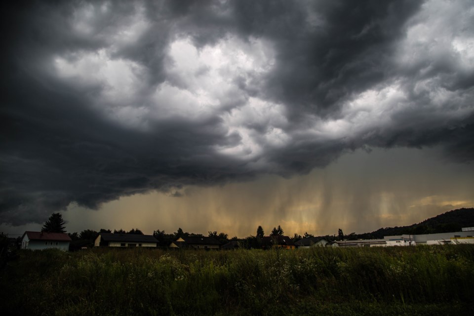
At 1:41 p.m. EDT, Environment Canada meteorologists are tracking a severe thunderstorm capable of producing very strong wind gusts, up to nickel size hail and heavy rain.
This line of severe thunderstorms is located from 7 kilometres east of Hamilton Beach to Ingersoll, moving southeast at 70 km/h.
Locations impacted include:
Simcoe, Brantford, St. Catharines, Niagara Falls, Fort Erie, Norwich, Delhi, Ancaster, Caledonia, Cayuga, Stoney Creek, Dunnville, Smithville, Lincoln, Port Colborne, Welland, Scotland, Waterford, Port Dover and Ohsweken.
Take cover immediately if threatening weather approaches. Heavy downpours can cause flash floods and water pooling on roads. Strong wind gusts can toss loose objects, damage weak buildings, break branches off trees and overturn large vehicles.
The Office of the Fire Marshal and Emergency Management recommends that you take cover immediately if threatening weather approaches.
Please continue to monitor alerts and forecasts issued by Environment Canada. To report severe weather, send an email to [email protected] or tweet reports using #ONStorm.
For more information, click here.
***************************