WEATHER ALERT
ENVIRONMENT CANADA
**************************
Wind warning issued for:
- Niagara
A cold front will cross the regions near midnight with southwest winds gusting to near 90 kilometres per hour that will continue until Wednesday afternoon.
Areas closer to Lake Erie will experience the strongest gusts possibly up to 100 kilometres per hour early Wednesday morning.
Local blowing snow and reduced visibilities may be associated with the gusty winds.
Loose objects may be tossed by the wind and cause injury or damage.
Be prepared to adjust your driving with changing road conditions due to high winds.
Wind warnings are issued when there is a significant risk of damaging winds.
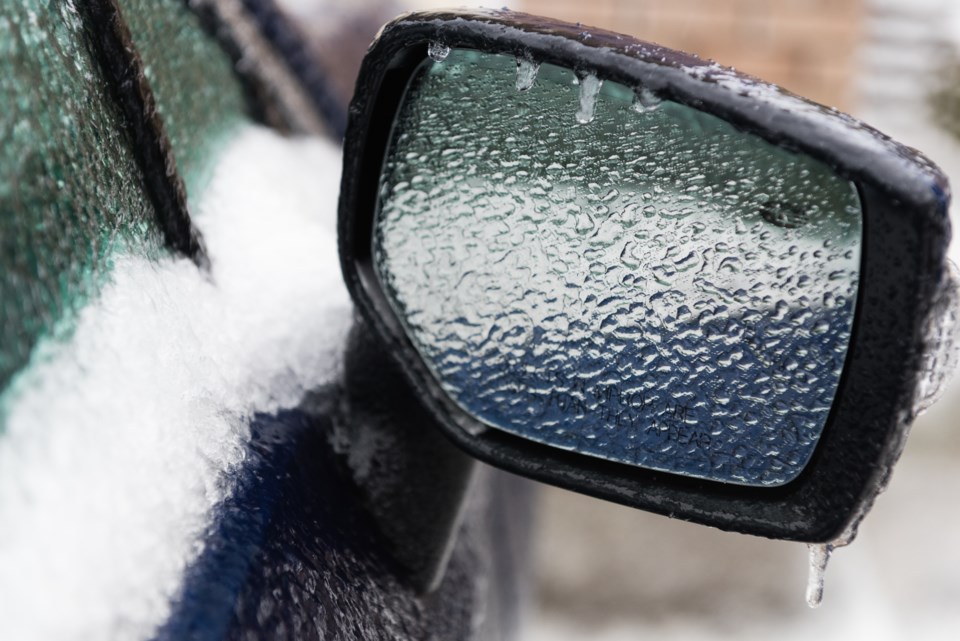
Freezing rain warning in effect for:
- Niagara Falls - Welland - Southern Niagara Region
- St. Catharines - Grimsby - Northern Niagara Region
Freezing rain continues.
Snow has changed to freezing rain mixed with ice pellets this morning. Total snow and ice pellet accumulations of 4 to 8 cm are likely. Freezing rain will continue for 2 to 6 hours before changing to rain late this afternoon.
Additionally, strong easterly winds gusting near 70 km/h will continue through much of the day.
This freezing rain is associated with a Colorado Low that will cross Southern Ontario tonight into Wednesday.
Surfaces such as highways, roads, walkways and parking lots may become icy and slippery. Be prepared to adjust your driving with changing road conditions. Ice build-up may cause tree branches to break. Utility outages may occur.
Please continue to monitor alerts and forecasts issued by Environment Canada. To report severe weather, send an email to [email protected] or tweet reports using #ONStorm.
**************************


